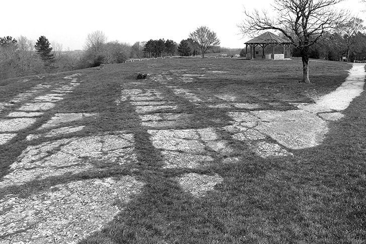
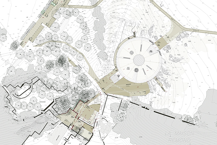
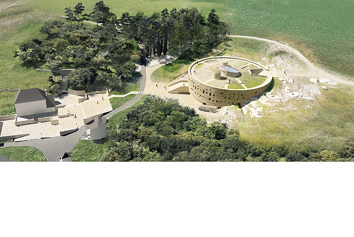
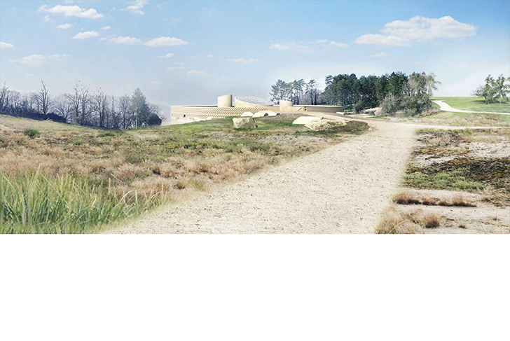
The Mont Auxois landscape is characterized by a varying topography offering sweeping views that stretch from the hilly area of the ancient Gaelic oppidum (fortified settlement) down to the Laumes plain. The planning of the areas surrounding Alesia's Archeological Museum takes advantage of these strongly present topographical elements, especially of the rocky terrain highlighted even more so by recent archeological excavations. Our landscape planning creates a succession of sites and buildings linked by mineral and vegetal terraces.
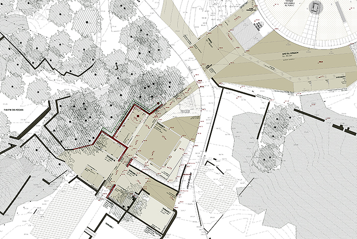
A specific methodology is implemented during the phases of construction: operational interventions follow upon archeological ones, with the sharing of data concerning the differing terrains allowing for precision in the grading work. The rocky material excavated from the site is set aside for reuse in the creation of the mineral surfaces of squares, parking lots, and pathways. An rock-filled embankment made up of large blocks of salvaged limestone connects the upper terrace of the building with the surrounding rocky environment.
Special attention is paid to the management of rainwater in order to ensure the stability of what is a rather sensitive site. The project location, with its planning taking place at the level of a thalweg, necessitates the taking of specific measures. The various elements are placed in such a way so as to prevent the runoff water from reaching the foot of the embankment and the public network of pathways. Only the water coming from the traversable surfaces are systematically directed away through an airtight system. A superficial embankment made up of a mixture of earth and stone from the excavations constitutes the foundation of the vegetal covering. Put into place over the rocky surfaces at a low angle, the slight slope functions in reducing the speed of the runoff water and the gully erosion it can cause.
Conseil Général de la Côte d’Or
MDP Michel Desvigne Paysagiste
BTuA Bernard Tschumi urbanists Architects (mandataire)
2,2 ha