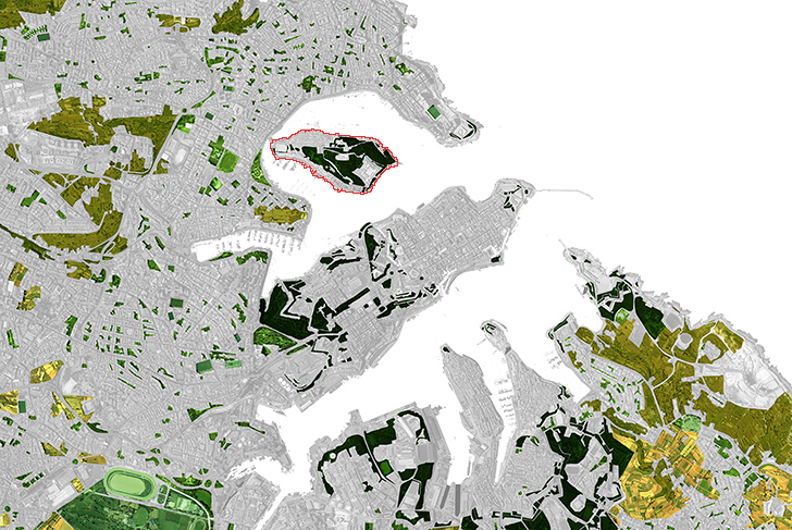
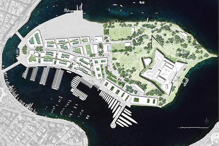
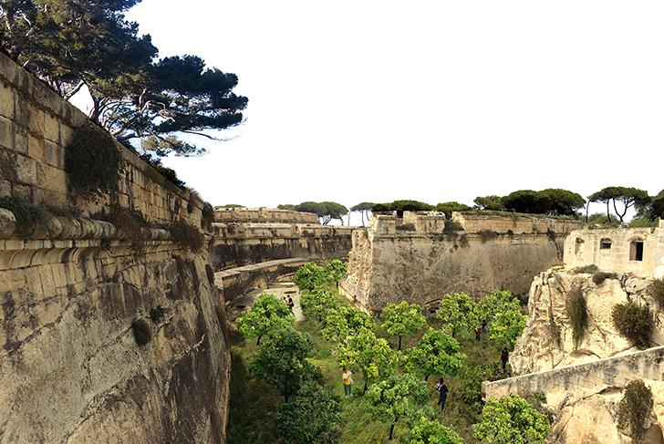
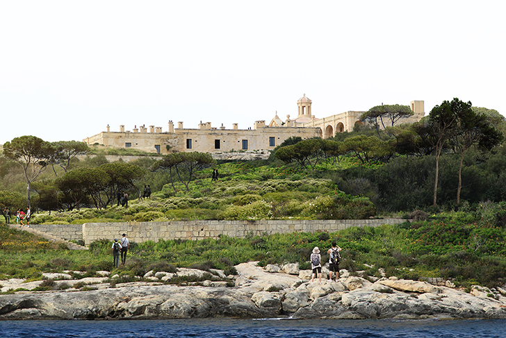
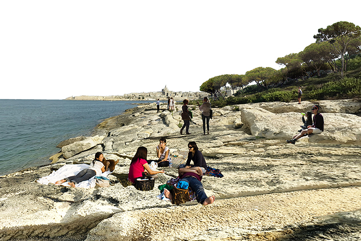
Manoel Island is located within one of the major bays off the eastern coast of Malta. Through its specific location and dimensions, the island is connected to the geographical system of this particularly jagged coastline. It forms a continuous part of the exceptional landscape made up of natural ports, densely built fortified cities, hamlets, small agricultural plots, terraces, and the forest area. This site, privileged by its natural beauty, offers vast panoramas upon the surrounding city, the port of Marsamxett, and the sea landscape. The key concept of the masterplan is to redefine the geography as a whole by creating a new physical structure that will spread out between Fort Manoel, the high point of the island, through the dense urban fabric to the coastline. It is a matter of taking advantage of the already existing landscape continuities by amplifying them in order to create a genuine park system. Branching off in many directions, the landscape sweeps out in greater scale, reaching all parts of the city. A number of different forms of landscape planning find their place, including gardens, playing fields, and playgrounds.This geography made with explicit artifice implies that the urban fabric and the landscape are conceived jointly together.
MIDI plc
Foster + Partners (Lead consultant) / MDP Michel Desvigne Paysagiste
29 ha (71 acres)